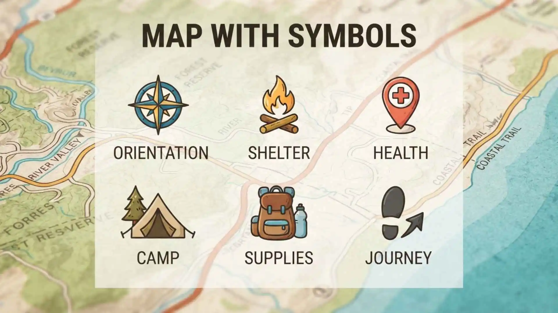
A map with symbols uses pictures, lines, colors, shapes, and other visual signs to represent real-world features. Instead of writing the full name or description of every road, river, city, airport, hospital, mountain, or landmark, a map uses symbols to communicate information quickly.
The map key or legend explains what these symbols mean. While many map symbols are widely recognized, their exact appearance can vary depending on the map type, country, publisher, and purpose.
Whether you are a student learning geography, a traveler reading a tourist map, or someone trying to understand a road or topographic map, the chart below provides a quick reference to common map symbols and their meanings.
Map Symbols Chart
Here is a quick reference to some of the most common symbols found on maps.
| Map Symbol | Meaning | Common Map Type |
| ★ | Capital city or important location | Political |
| ● | City | Political/Road |
| ○ | Town or smaller settlement | Road/Topographic |
| ✈ | Airport | Road/Tourist |
| ⚓ | Harbor or port | Road/Tourist |
| ⛺ | Campsite | Hiking/Tourist |
| ⛽ | Gas station | Road |
| ✚ | Hospital or medical facility | City/Road |
| 🏫 | School | City/Educational |
| 🌲 | Forest or wooded area | Physical/Topographic |
| 🏞 | Park or natural area | Tourist/Physical |
| ~~~ | River or stream | Physical/Topographic |
| ━ | Road | Road |
| ┄ | Minor road or trail | Road/Topographic |
| ═╬═ | Railway | Transportation |
| ▲ | Mountain or peak | Physical/Topographic |
| ⚑ | Landmark or important site | Tourist |
| ┄┄┄ | Boundary or trail, depending on map | Various |
| Blue area | Lake, sea, or other water | Physical |
| Green area | Vegetation, forest, or park | Physical |
| Brown lines | Elevation or terrain | Topographic |
Important: These examples are general illustrations rather than a universal symbol standard. Always check the legend of the specific map you are reading.
What Is a Map With Symbols?
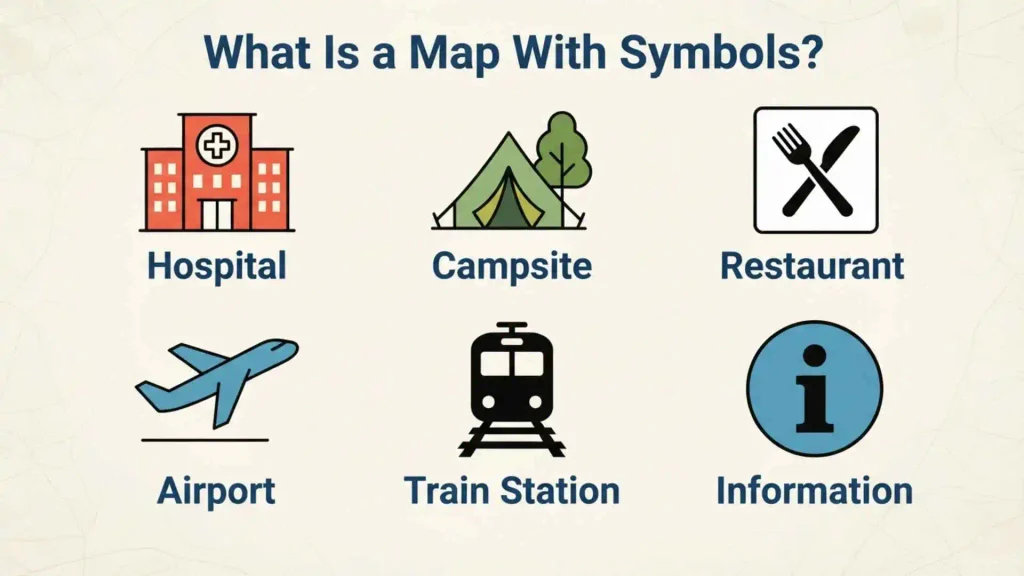
A map with symbols is a map that represents geographic information through visual symbols instead of relying entirely on words.
A symbol may represent a single point, an extended feature, or an entire area.
For example:
- An airplane icon can identify an airport.
- A line can represent a road or railway.
- A blue line can represent a river.
- A tree pattern can indicate a forest.
- A star can identify an important city or location.
- Contour lines can show changes in elevation.
Using symbols allows maps to display a large amount of information without becoming overcrowded with text.
Why Maps Use Symbols
Maps use symbols for several important reasons.
Symbols save space. A small icon can represent a feature that would otherwise require several words.
Symbols make maps easier to scan. Readers can quickly recognize important features without reading every label.
Symbols organize information. Different symbols, colors, and line styles allow several categories of geographic information to appear on one map.
Symbols can reduce language barriers. Pictorial symbols may be understood even when a reader does not speak the language used for written labels.
What Is a Map Legend or Key?
A map legend, also called a map key, is the part of a map that explains the meaning of its symbols, colors, lines, and patterns.
For example, a legend might show:
| Symbol | Meaning |
| ✈ | Airport |
| ✚ | Hospital |
| ★ | Capital |
| ~~~ | River |
| ━ | Main road |
| ═╬═ | Railway |
| 🌲 | Forest |
The legend is one of the most important parts of a map because symbols are not always universal.
A hospital might be represented by a medical cross on one map and by an H on another. A dotted line might represent a hiking trail on one map but a boundary on another.
When in doubt, check the map key.
Map Key vs. Map Legend
The terms map key and map legend are commonly used to describe the same basic feature: the section that explains the symbols used on a map.
Some publishers prefer “legend,” while others use “key.”
For most readers, there is no important practical difference between the two terms.
Common Map Symbols and Their Meanings
Different geographic features require different types of symbols. The following sections explain some of the symbols you are most likely to encounter.
Roads and Highways
Roads are generally represented by lines.
A map may use different widths, colors, or patterns to distinguish:
- Highways
- Major roads
- Secondary roads
- Local streets
- Dirt roads
- Private roads
- Hiking trails
A thick line may indicate an important highway, while a thin line may represent a smaller road.
Rivers and Streams
Rivers, streams, and other flowing water features are commonly represented by blue lines.
A large river may be drawn with a thicker line than a small stream.
On some maps, a river may also have its name printed alongside it.
Lakes and Other Bodies of Water
Lakes, reservoirs, seas, and oceans are commonly shown as colored or shaded areas.
Blue is frequently used for water, although the exact color can vary by map.
The outline of the water body may also help distinguish a lake from a river or other feature.
Cities and Towns
Cities and towns are often represented by dots, circles, stars, or other geometric symbols.
A map may use different sizes to distinguish between:
- Capital cities
- Major cities
- Smaller cities
- Towns
- Villages
For example, a major city might be represented by a larger circle than a small settlement.
Airports
Airports are frequently represented by an airplane icon or an airport-specific symbol.
On transportation and tourist maps, airports may also be labeled with:
- Airport name
- City name
- Airport code
The exact icon depends on the map.
Hospitals
Hospitals are often represented by a medical cross, an H, or another healthcare symbol.
Hospital symbols are especially common on:
- City maps
- Road maps
- Emergency maps
- Tourist maps
The legend should be checked because medical symbols can differ between mapping systems.
Schools
Schools may be represented by a building, an S, a graduation-related icon, or another educational symbol.
School symbols are particularly common on detailed city maps and educational maps.
Parks and Forests
Parks, forests, and other areas containing vegetation are often represented with green colors or tree symbols.
A large forest may be shown as a shaded green area, while a small park may use a park icon.
Railways
Railways are commonly represented by distinctive line patterns.
A railway symbol may consist of a line with repeated crossbars or another pattern designed to distinguish it from roads.
Railway stations may have their own symbols.
Mountains and Peaks
Mountains may be shown using triangular symbols, shaded relief, elevation markings, or contour lines.
A peak may be labeled with its name and elevation.
Topographic maps generally provide more detailed information about terrain than ordinary road maps.
Campsites
Tourist and hiking maps often use tent symbols to identify campsites.
Campsites may also be accompanied by labels describing available facilities.
Ports and Harbors
A ship, anchor, or harbor-related symbol may identify a port or harbor.
These symbols are common on coastal, transportation, and tourist maps.
Landmarks and Attractions
Tourist maps often use pictorial icons for:
- Museums
- Monuments
- Historic buildings
- Beaches
- Viewpoints
- Zoos
- Theme parks
- Visitor centers
Because tourist maps are designed for quick navigation, their symbols are often highly visual.
Types of Map Symbols
Map symbols can be classified according to the type of geographic information they represent.
Point Symbols
Point symbols identify individual locations.
Examples include:
- Airports
- Hospitals
- Cities
- Schools
- Campsites
- Monuments
- Railway stations
A point symbol is useful when the feature is too small to draw accurately at the map’s scale.
Line Symbols
Line symbols represent features that extend from one location to another.
Examples include:
- Roads
- Rivers
- Railways
- Trails
- Borders
- Contour lines
Different line widths, colors, and patterns can communicate different meanings.
Area Symbols
Area symbols represent features that cover a region.
Examples include:
- Forests
- Lakes
- Parks
- Deserts
- Agricultural land
- Political regions
Colors, patterns, and shading are commonly used for area symbols.
Pictorial Symbols
Pictorial symbols resemble the object they represent.
For example:
- An airplane can represent an airport.
- A tent can represent a campsite.
- A tree can represent a forest.
- An anchor can represent a harbor.
These symbols can be especially useful for tourists and children because their meanings may be intuitive.
Abstract Symbols
Not every map symbol looks like the object it represents.
Some symbols are geometric or abstract and must be learned through the map legend.
Examples include:
- Dots
- Circles
- Squares
- Triangles
- Dashed lines
- Solid lines
This is why reading the legend is important.
Map Symbols by Type of Map
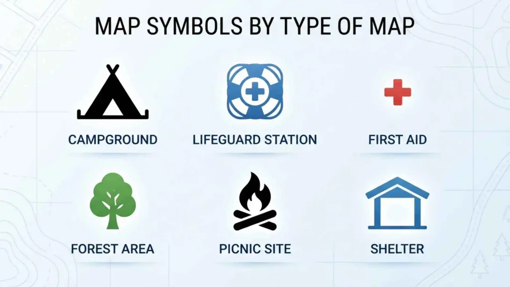
Different maps use symbols for different purposes. A symbol that is important on a hiking map may not appear on a political map.
Political Maps
Political maps focus on countries, states, provinces, districts, and other administrative boundaries.
Common symbols and features include:
- Capital cities
- Major cities
- International borders
- State or provincial boundaries
- Administrative centers
Colors may be used to distinguish political areas.
Physical Maps
Physical maps emphasize natural features.
They commonly show:
- Mountains
- Rivers
- Lakes
- Deserts
- Forests
- Plains
- Plateaus
Colors and shading often help communicate differences in terrain and elevation.
Road Maps
Road maps are designed primarily for transportation and navigation.
They may show:
- Highways
- Roads
- Bridges
- Tunnels
- Intersections
- Gas stations
- Parking areas
- Rest areas
- Airports
- Hospitals
Road classifications are often represented through different line widths or colors.
Topographic Maps
Topographic maps provide detailed information about terrain and elevation.
One of their most important features is the contour line.
A contour line connects points that have the same elevation. When contour lines are close together, the terrain is generally steeper. When they are farther apart, the slope is generally gentler.
Topographic maps may also show:
- Roads
- Trails
- Buildings
- Rivers
- Forests
- Elevation points
- Boundaries
Tourist Maps
Tourist maps are designed to help visitors find attractions and services.
Common symbols include:
- Hotels
- Restaurants
- Museums
- Beaches
- Historic sites
- Tourist information centers
- Parking
- Public transportation
- Attractions
These maps often favor simple pictorial symbols.
Weather Maps
Weather maps use a different symbol system from ordinary geographic maps.
Common weather symbols represent:
- Sun
- Clouds
- Rain
- Snow
- Thunderstorms
- Wind
- Temperature
- Atmospheric pressure
Because weather symbols can have specialized meanings, the map’s legend or accompanying explanation should be consulted.
Resource Maps
Resource maps show the location or distribution of natural and economic resources.
Symbols may represent:
- Oil
- Natural gas
- Coal
- Minerals
- Forest resources
- Agricultural areas
- Fishing zones
These maps often use specialized symbols designed for a particular industry or research purpose.
Map Symbols and Colors
Map symbols are often combined with colors to communicate additional information.
Common conventions include:
| Color | Common Meaning |
| Blue | Water |
| Green | Vegetation, forests, or parks |
| Brown | Terrain or elevation on many topographic maps |
| Black | Text, buildings, or constructed features in many maps |
| Red | Important roads, boundaries, or highlighted features |
| Yellow | Certain roads, land uses, or developed areas |
These are common conventions rather than universal rules.
A blue color generally suggests water, but a specific map may use blue for another purpose. The legend always takes priority.
How Map Scale Affects Symbols
Map scale has a major effect on how geographic features are represented.
A large-scale map covers a smaller geographic area but can show more detail.
A small-scale map covers a larger area but usually simplifies geographic features.
For example, a detailed city map might show individual buildings, streets, bus stops, and small parks. A map of an entire country may show only major cities and highways.
Symbols on Detailed Maps
Detailed maps can display more symbols because there is more space for geographic information.
A city map might identify:
- Individual buildings
- Parking areas
- Restaurants
- Hospitals
- Schools
- Bus stops
Symbols on Regional Maps
Regional maps generally simplify information.
Small roads and minor buildings may disappear, while major cities, highways, rivers, and large geographic areas remain visible.
Symbols on Digital Maps
Digital maps can change symbols as you zoom.
At a distant zoom level, you may see only major cities and roads.
As you zoom closer, additional information may appear, such as:
- Local streets
- Businesses
- Transit stations
- Parking
- Landmarks
This is one reason digital maps can display huge amounts of information without overwhelming the user.
How to Read a Map With Symbols
You can usually understand a map more easily by following a simple process.
Start With the Title
The title tells you what the map represents.
A road map, political map, and topographic map will use different symbol systems.
Find the Legend
Look for the map key or legend before interpreting unfamiliar symbols.
It explains the meaning of icons, lines, colors, and patterns.
Check the Scale
The scale tells you how map distance relates to actual distance.
This helps you understand whether a feature is nearby or far away.
Find the Direction
Look for a north arrow, compass, or other orientation indicator.
Knowing direction helps you understand the relative positions of geographic features.
Identify the Symbols
Once you understand the legend, use the symbols to locate the features you need.
For example, if the legend identifies a tent as a campsite, you can quickly locate campsites throughout the map.
Why Are Symbols Important on Maps?
Map symbols provide several important benefits.
They Save Space
A small symbol can replace a lengthy written description.
They Make Information Easier to Find
Readers can scan a map for a particular symbol instead of reading every label.
They Organize Multiple Categories
Different symbols allow roads, water, buildings, landmarks, and boundaries to appear on the same map.
They Help Visual Learners
Pictures and simple shapes can make geographic information easier to understand.
They Support Quick Decision-Making
Drivers, hikers, tourists, emergency workers, and other map users may need to identify important features quickly.
Are Map Symbols Universal?
Map symbols are not completely universal.
Some symbols have become widely recognized, but their appearance and meaning can change depending on:
- Map type
- Country
- Map publisher
- Intended audience
- Scale
- Mapping standard
- Language
For example, an airplane symbol commonly suggests an airport, but a specific map may use a different airport icon.
A dotted line might represent a hiking trail on one map and a political or administrative boundary on another.
Therefore, the safest approach is to check the map legend whenever one is provided.
Map Symbols for Kids and Students
Map symbols are an important part of basic geography education.
Children can learn map reading by using simple symbols to represent familiar features.
For example:
| Symbol | Feature |
| ★ | Important place |
| 🏫 | School |
| 🏥 | Hospital |
| 🌳 | Forest |
| ✈ | Airport |
| ⛺ | Campsite |
| ~~~ | River |
| ━ | Road |
A simple classroom activity can involve giving students a map and asking them to identify each feature using the map key.
This teaches students that maps are not just drawings of places. They are systems for representing information.
Map Symbols vs. Map Labels
Symbols and labels perform different functions.
A symbol represents a feature visually.
A label gives the feature a written name.
For example, a map might use a blue line to represent a river and then add the label “River Thames.”
Using both symbols and labels provides more complete information.
Map Symbols vs. Map Legend
A map symbol is the visual sign itself.
A map legend explains what that sign means.
For example:
✈ = Airport
The airplane is the symbol, while the legend tells the reader that the symbol represents an airport.
Common Confusing Map Symbols
Some symbols can be difficult to interpret without a legend.
Dotted Lines
A dotted line can represent a trail, boundary, route, or other feature depending on the map.
Stars
A star may represent:
- Capital city
- Important city
- Landmark
- Tourist attraction
Its exact meaning depends on context.
Circles and Dots
Circles may represent cities, towns, locations, or other point features.
Different sizes may indicate different levels of importance.
Colors
Colors can have different meanings depending on the map.
For example, green may indicate vegetation on one map and a designated route or zone on another.
How to Make a Simple Map With Symbols
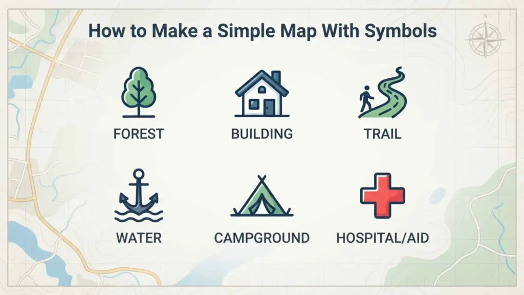
Creating a basic symbolic map is a useful geography activity.
Choose a Location
Start with a familiar area such as:
- Neighborhood
- School campus
- Park
- Small town
- Imaginary island
Decide What to Show
Choose the important features.
For a school map, these might include:
- Classrooms
- Playground
- Library
- Main entrance
- Parking
- Cafeteria
Choose Simple Symbols
Give each feature a clear symbol.
For example:
- School = 🏫
- Playground = ⚽
- Parking = P
- Entrance = →
- Library = 📚
Create a Legend
Place all symbols and their meanings in a small map key.
Keep the Map Easy to Read
Avoid using too many symbols.
A good map should communicate information clearly without becoming visually crowded.
Frequently Asked Questions
What is a map with symbols?
A map with symbols uses pictures, lines, shapes, colors, and other visual signs to represent geographic features such as roads, rivers, cities, airports, parks, and landmarks.
What are map symbols and their meanings?
Map symbols are visual representations of geographic features. For example, an airplane may represent an airport, a blue line may represent a river, and a tent may represent a campsite. The map legend provides the exact meanings for that particular map.
What are the 5 basic map symbols?
There is no single universal set of five symbols, but common map symbols include symbols for cities, roads, rivers, mountains, and important locations. The exact symbols vary by map type.
What is the most important part of a map with symbols?
The map legend or key is one of the most important parts because it explains what the map’s symbols, colors, and line patterns mean.
What is a map key?
A map key is a section of the map that explains the meaning of its symbols, colors, lines, and patterns. It is also commonly called a map legend.
What does a star mean on a map?
A star can represent a capital city, important location, landmark, or tourist attraction. Its exact meaning depends on the map’s legend.
What does a blue line mean on a map?
A blue line commonly represents a river, stream, canal, or another water feature. Always check the legend for the exact meaning.
What does green mean on a map?
Green commonly represents forests, vegetation, parks, or other areas with plant cover. However, map colors are not completely universal.
What does a dotted line mean on a map?
A dotted line can represent a hiking trail, minor route, boundary, or another geographic feature. Its meaning depends on the particular map.
What symbols are used on a physical map?
Physical maps commonly use symbols, colors, and labels to show mountains, rivers, lakes, forests, deserts, plains, and other natural features.
What symbols are used on a political map?
Political maps commonly show capitals, cities, borders, states, provinces, districts, and other administrative divisions.
What symbols are used on a topographic map?
Topographic maps can use contour lines, elevation points, roads, trails, buildings, rivers, forests, and other symbols to represent terrain and geographic features.
Why do maps use symbols instead of words?
Symbols save space, make maps easier to scan, organize information, and allow geographic features to be recognized quickly.
Are map symbols the same everywhere?
No. Some symbols are widely recognized, but exact designs and meanings can vary by map type, publisher, country, and mapping system. The legend should be used as the final reference.
What are the three main types of map symbols?
Map symbols are commonly grouped into point, line, and area symbols. Point symbols identify locations, line symbols represent linear features, and area symbols represent regions.
What is the difference between a map symbol and a map legend?
A map symbol is the visual sign representing a feature. A map legend explains what that sign means.
Why are map symbols useful for children?
Simple symbols help children understand geographic information visually. They can learn to connect symbols with real-world features such as schools, roads, rivers, parks, and cities.
Conclusion
A map with symbols makes geographic information easier to understand by replacing lengthy descriptions with recognizable pictures, lines, colors, shapes, and patterns. Common symbols can represent everything from roads and rivers to airports, hospitals, cities, forests, mountains, railways, and tourist attractions.
The most important thing to remember is that map symbols are not always universal. A symbol’s meaning can change depending on the map, so the map key or legend should always be checked when you are unsure.
For students, travelers, hikers, drivers, and anyone learning geography, understanding map symbols provides a simple way to read maps more confidently. Once you know how to interpret the legend, scale, direction, colors, and symbols, even a detailed map becomes much easier to navigate.

I’m Adrian Holloway, a writer and researcher who enjoys exploring the stories, meanings, and interesting facts behind the subjects people search for every day. I’m especially interested in symbols, nature, lakes, places, and cultural topics that help readers understand the world from a different perspective.
I believe useful content should be simple, accurate, and enjoyable to read. When I research a topic, I focus on finding meaningful details and presenting them in a way that makes information easy to understand.
My goal is to create helpful articles that answer real questions while encouraging readers to discover something new with every visit.
Books by Adrian Holloway
The Language of Symbols: Meanings, Stories & Traditions
Hidden Wonders of Nature: Lakes, Landscapes & Discovery